Topography / Bathymetry
Our solutions > Topography / Bathymetry
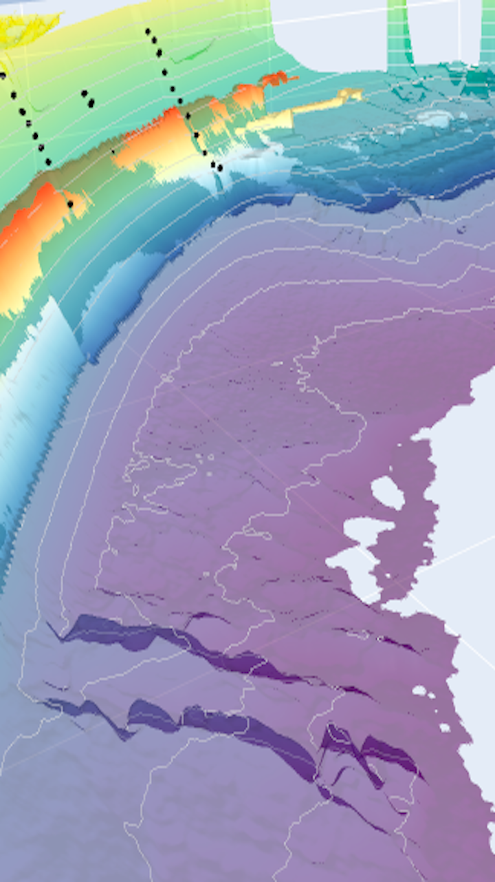
WaveCams® system allows to monitor the morphological evolution of an entire beach. Cameras follow hydro-sediment movements from the beach top to shallow waters by filming the surf-zone. The images are processed and analyzed to build bathymetry and beach-top topography profiles.
Deliverables:
- Digital Elevation Models (DEM)
- Isobaths
Indicators:
- Beach profile and slope, date-related available beach width
- Sediment budget evolution and identification of critical deficit threshold such as identification of natural reversion process post storm-surge
- Bathymetric differences
Depending on your needs:
- Anticipate beach management operations (nourishments, maintenance, development works, etc.)
- Characterize the impact of storm events on topography
- Follow protection works and structures efficiency
- Prevent wave overtopping risks

Shoreline
Topography / Bathymetry
Wave characteristics
Hydro-sedimentary budgets
Dashboard

