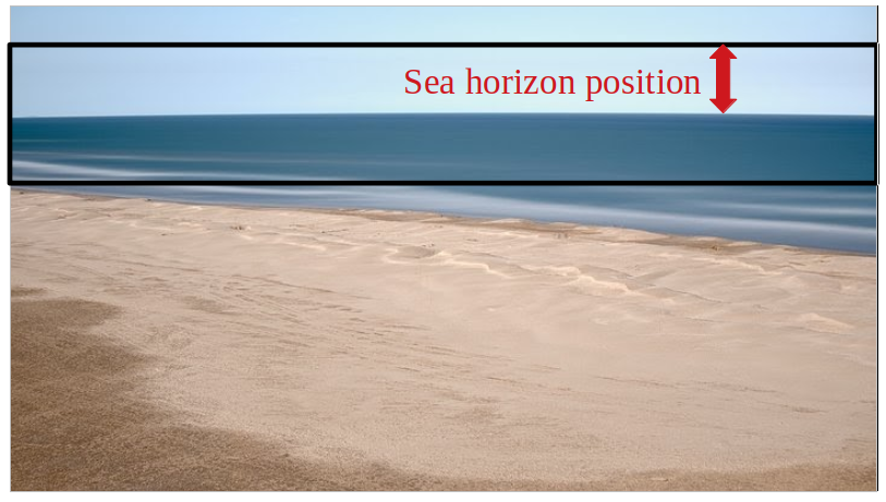
Video monitoring of coastal processes can be disturbed by camera movements. Whereas wind gust can cause high frequency movements, thermal dilation of the structure on which the camera sits on may cause daily frequency movements (see figure below).


Horizon line position, characterized by a daily signal.
In order to make a scientific use of our 4K images and videos (monitoring of coastline, beach topography, waves, bathymetry), we have developed and adapted image stabilization techniques to our needs.
Two main cases are distinguished. In the first one, fixed elements in the image like windows and buildings edges are used as landmarks to register an image to an other. An improved version of the Marquadt-Levenberg method is used to optimize stabilization.
Stabilization results are very good. Here is a comparison of raw and stabilized images at Cannes, where we monitor coastline evolution.
In case no fixed elements are in the image, things get more complicated ! This is what happened with our cameras at Port-la-Nouvelle, where strong wind conditions often disrupt image stability. As the movement on images is carried out by vertical translation and rotation around camera axis, a part of the image enabled us to get out this tricky situation: the sea horizon line.
An algorithm of automatic detection of horizon line has been developped, based on the analysis of grayscale vertical gradient (see figure below).
From this horizon line detection, rotation and vertical translation are applied to each image, to register it to a reference image. A series of stabilized images is created this way.
Here is an animation example showing simultaneously a series of raw and stabilized images:
This might not be the end of the story for horizon line detection. Indeed, for example we could think to use it to compute camera pose angles (pitch, roll) on any camera facing a horizon line.

